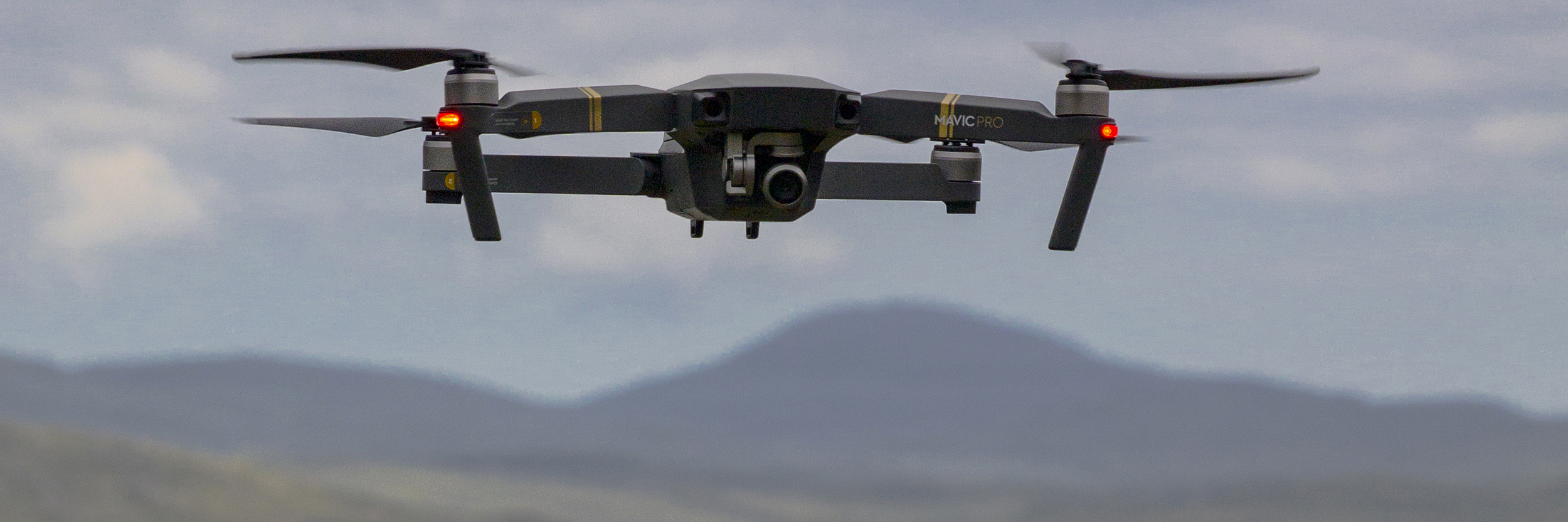
Scotland360° Aerial Photography
In addition to my extensive experience in panoramic and landscape photography, I am a fully qualified, commercial UAS (drone) pilot with many years of flying experience.
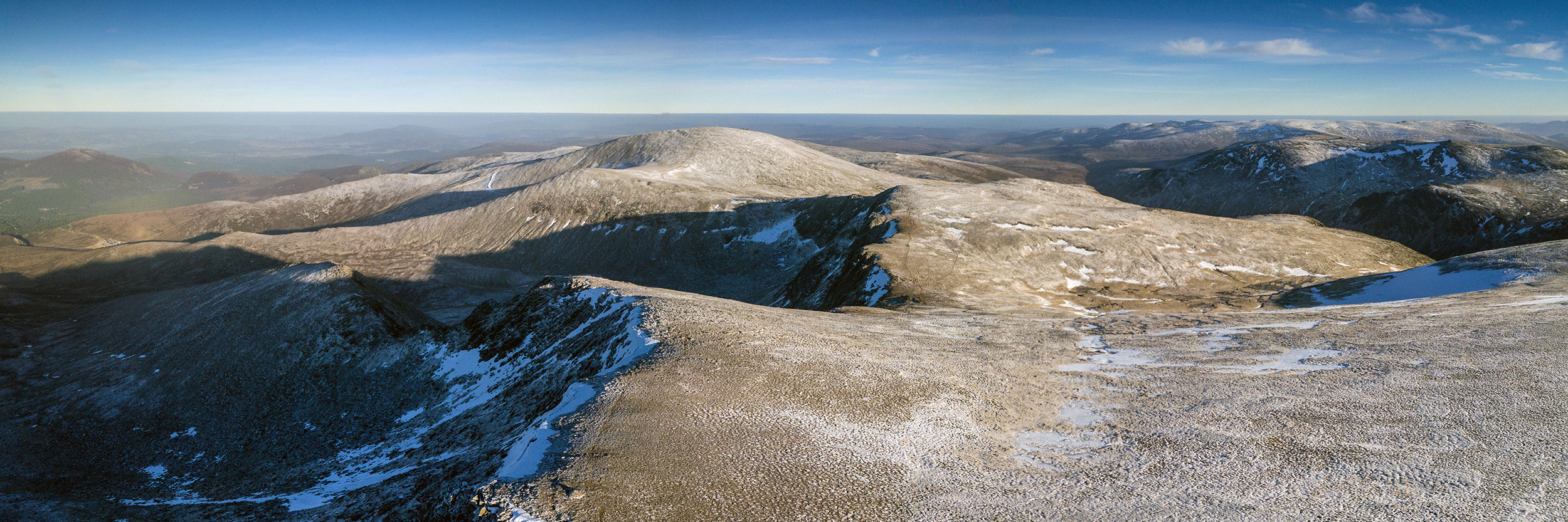
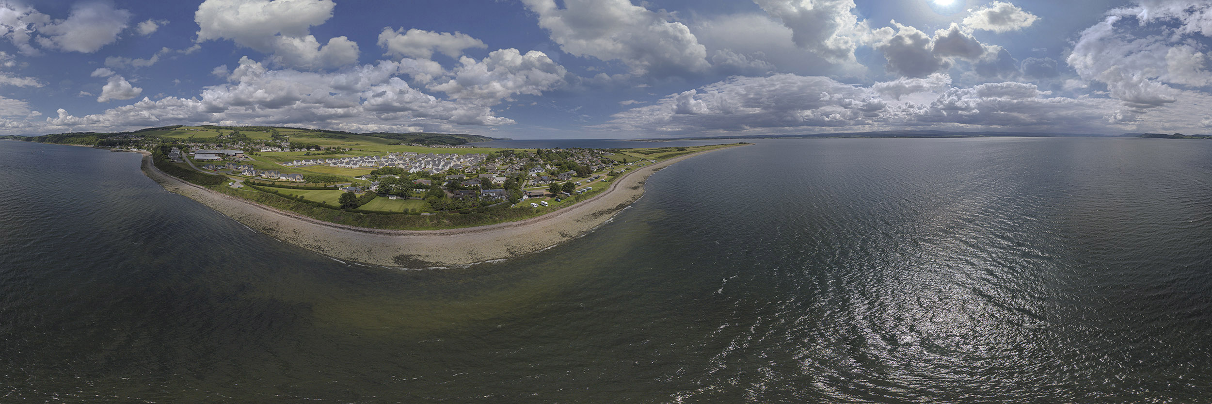
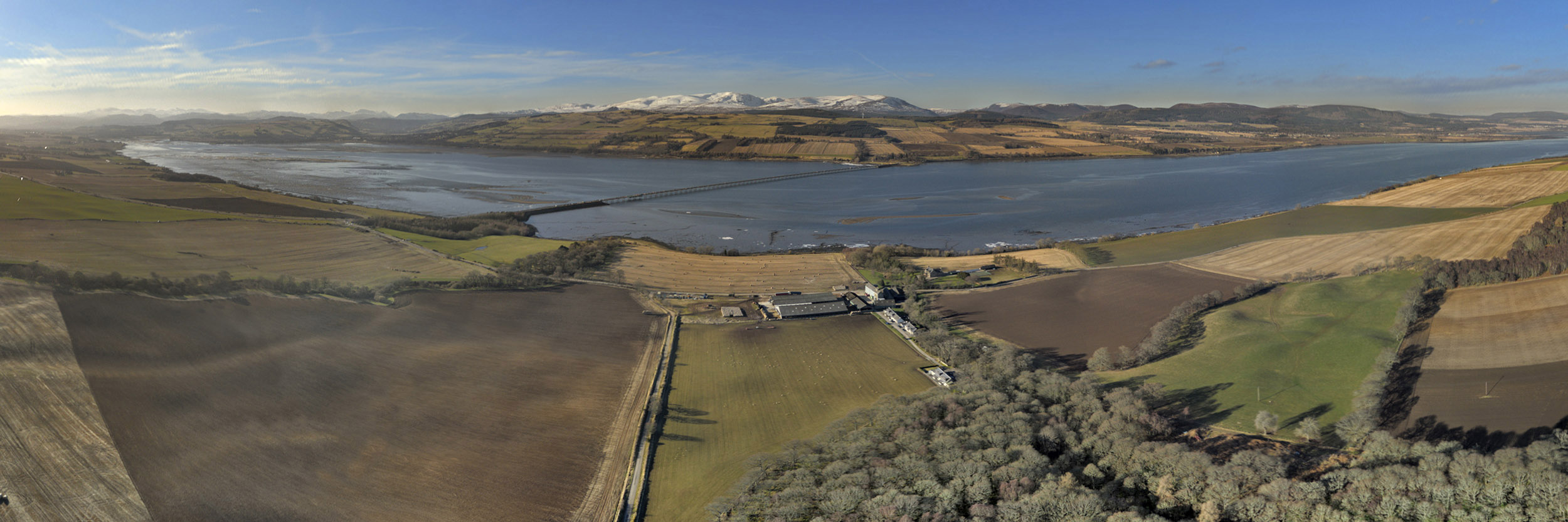
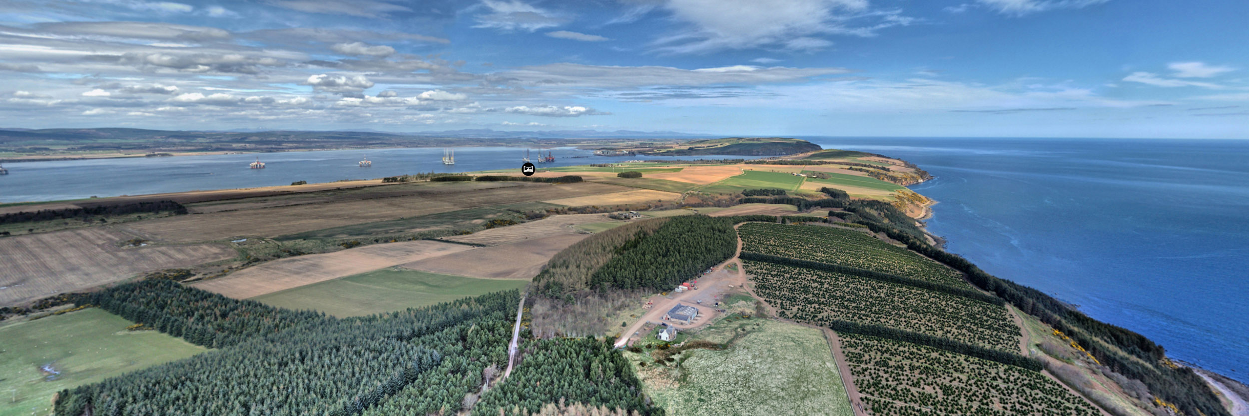
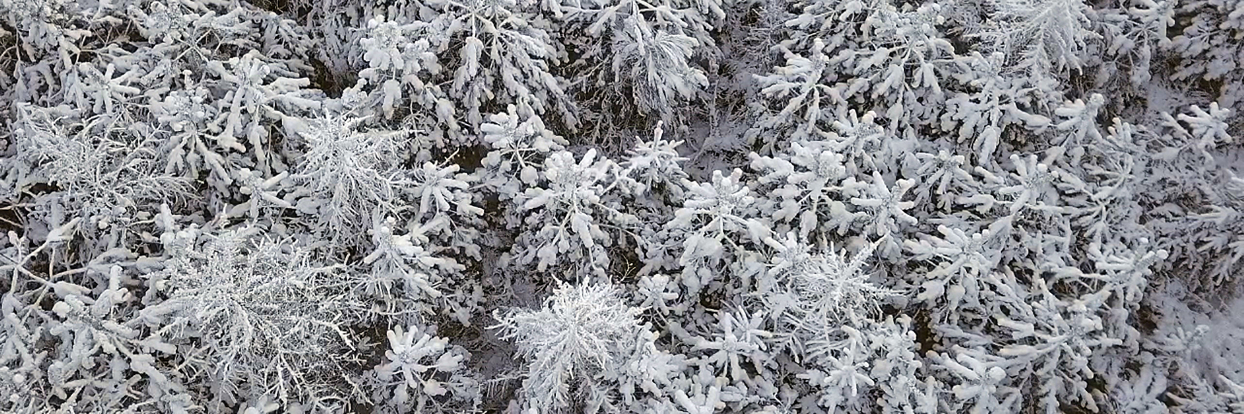
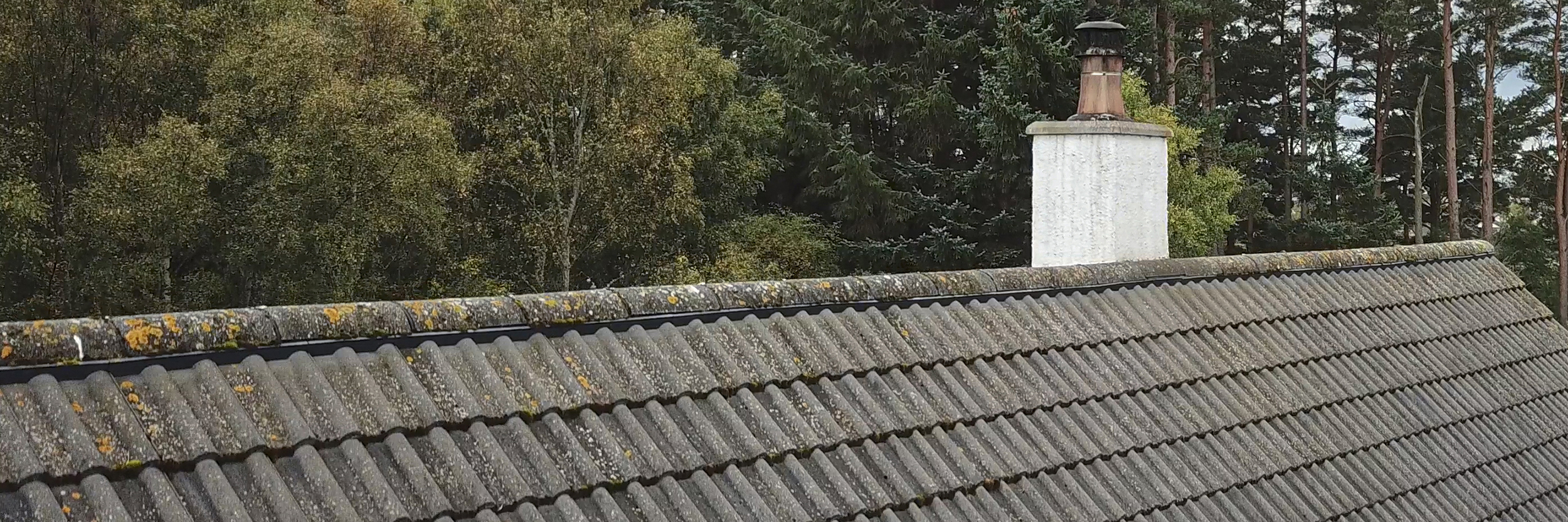
Aerial Panoramic Photography
Blending my specialist photography skills with creative aerial perspectives has allowed me to develop unique, immersive photography capabilities. My interactive viewpoints are extremely well suited to today’s world, where remote, immersive, virtual viewing is now essential to so many aspects of life.
Harness the benefits of aerial photography to:
- Showcase your world from unique and striking perspectives
- Provide interactive panoramic vistas and views
- Integrate aerial imagery into virtual tours
- Provide immersive and interactive experiences, rich in features and interest.
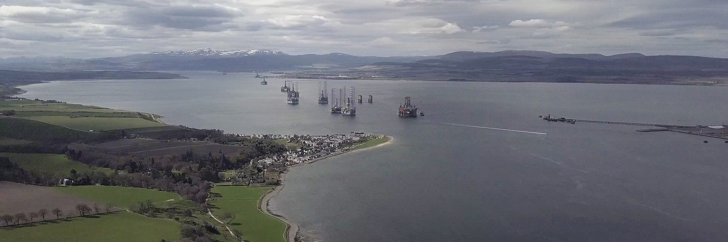
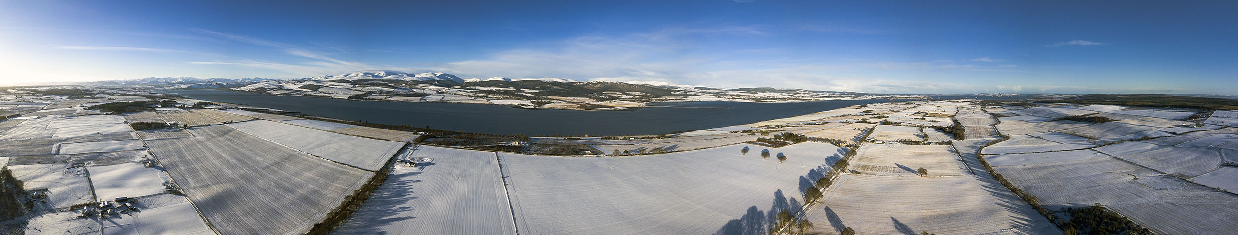
Aerial Survey and Mapping
With a background of managing surveys and Geographic Information Systems, I have also developed my own aerial survey and mapping protocols for land and forestry projects. From survey and interpretation to mapping and topographic modelling, all backed up with over 35 years of experience in forestry.
Utilise the capabilities of drones to:
- Reduce your survey costs
- Capture information quickly and accurately
- Maintain a digital workflow from acquisition to report
- Add value to surveys and reports
Visit my Forestry Survey Page
Case Studies
To find out more about some of the projects I've surveyed by drone, why not look at the Case Studies using the links below.
Seefar Hill Forestry Drone Survey
This case study follows a drone based aerial survey I delivered for Savills Chartered Surveyors in December 2020. The survey was commissioned to provide aerial survey data, interpretation and mapping of a 100ha woodland creation site at Seefar Hill, Forneth Estate in Perthshire.
Drone Based Aerial Survey and Mapping Solutions - Seefar HillAerial Projects
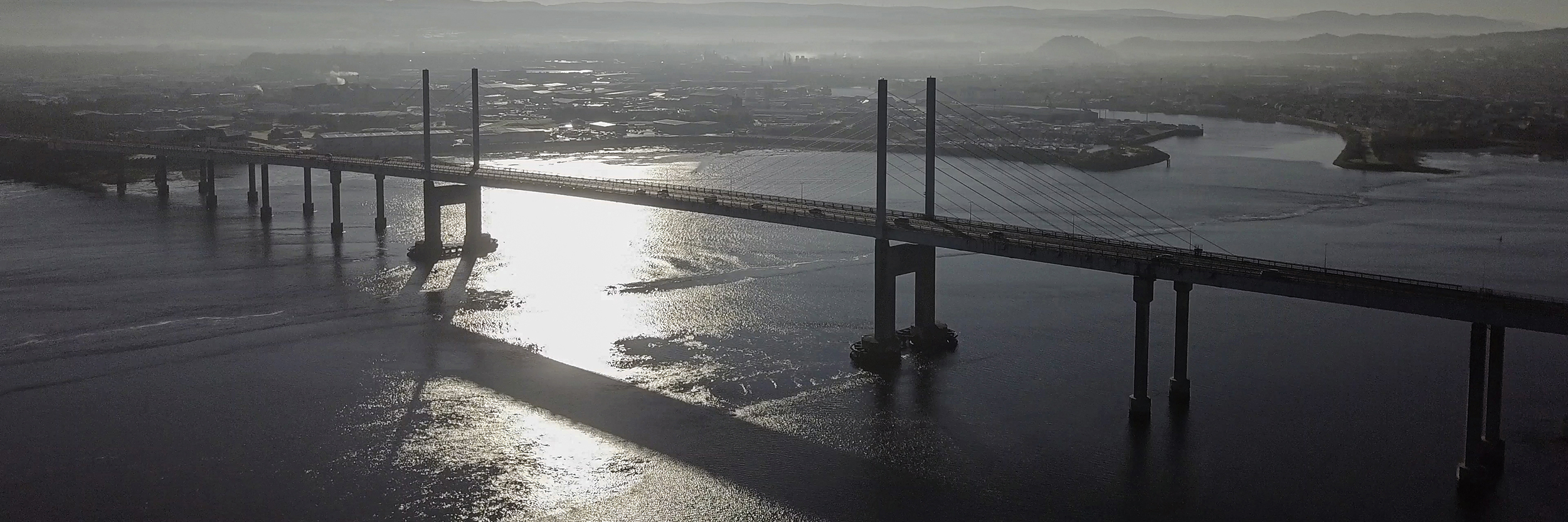
Aerial photography works on every scale – from picking up on detail to featuring big landscapes and vistas. If you’re inspired to harness the benefits of aerial photography, then contact me and we can plan your idea through to completion.
I'm also available for a wide range of other aerial photography projects including:
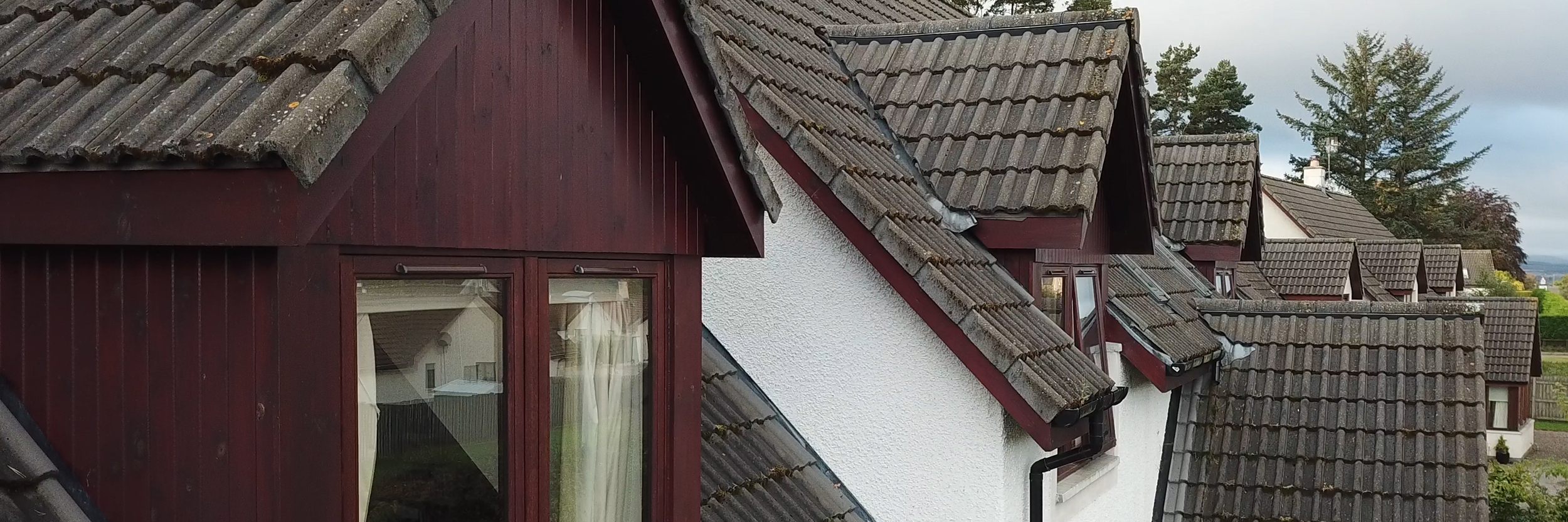
- Property Inspections
- Social Media Marketing
- Travel and Tourism
Please contact me for further information and to discuss your own requirements.
To find out more, please call me on 07780 787034 or use the Contact Button below to send me an email:
Contact AngusSpecialist 360° panoramic photography, virtual tours and virtual reality
Fully qualified and insured CAA Approved UAS (Drone) Pilot with comprehensive CAA Permission for Commercial Operations.
Please feel free to share this page:
An aerial view looking across to the island of Scalpay sitting to the east of Tarbert on the Isle of Harris.
This full 360° aerial panorama has a wealth of detail. Spot the Caledonian Macbrayne ferry entering Loch Tarbert and look back onto Skye in the far distance. Scroll, pan and zoom to enjoy the beauty of the Outer Hebrides.
Commissioned by and Featuring in....