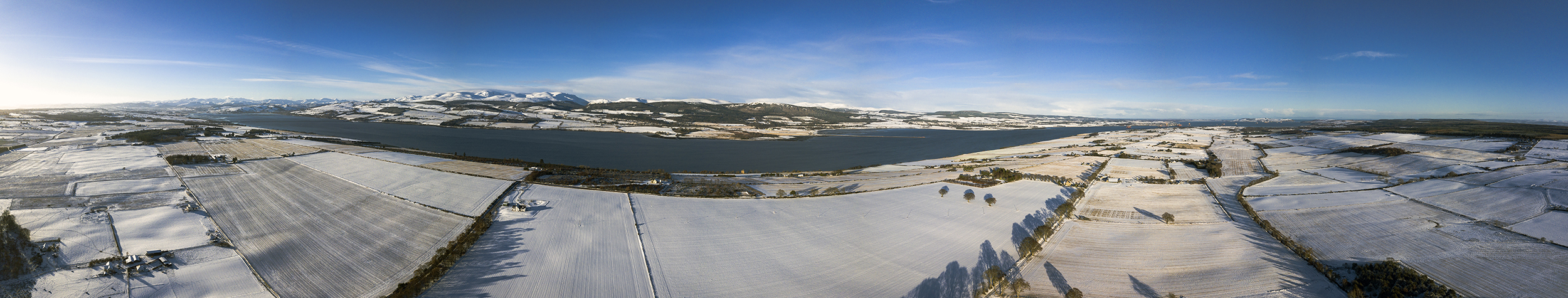
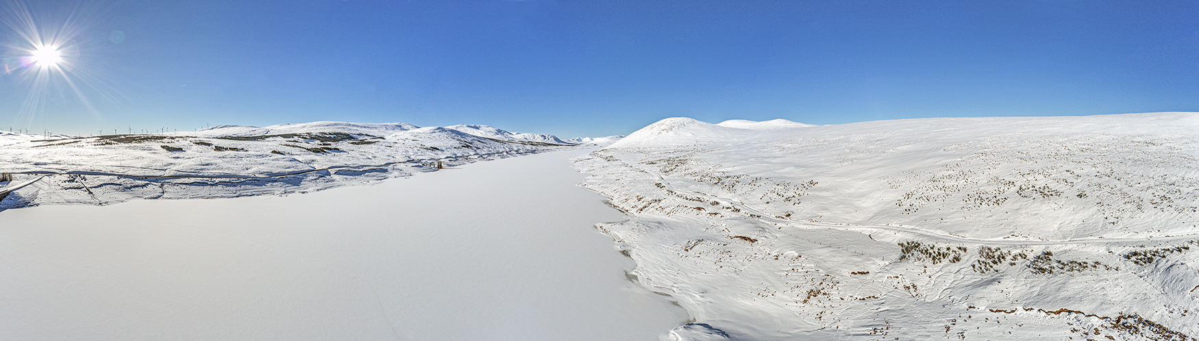
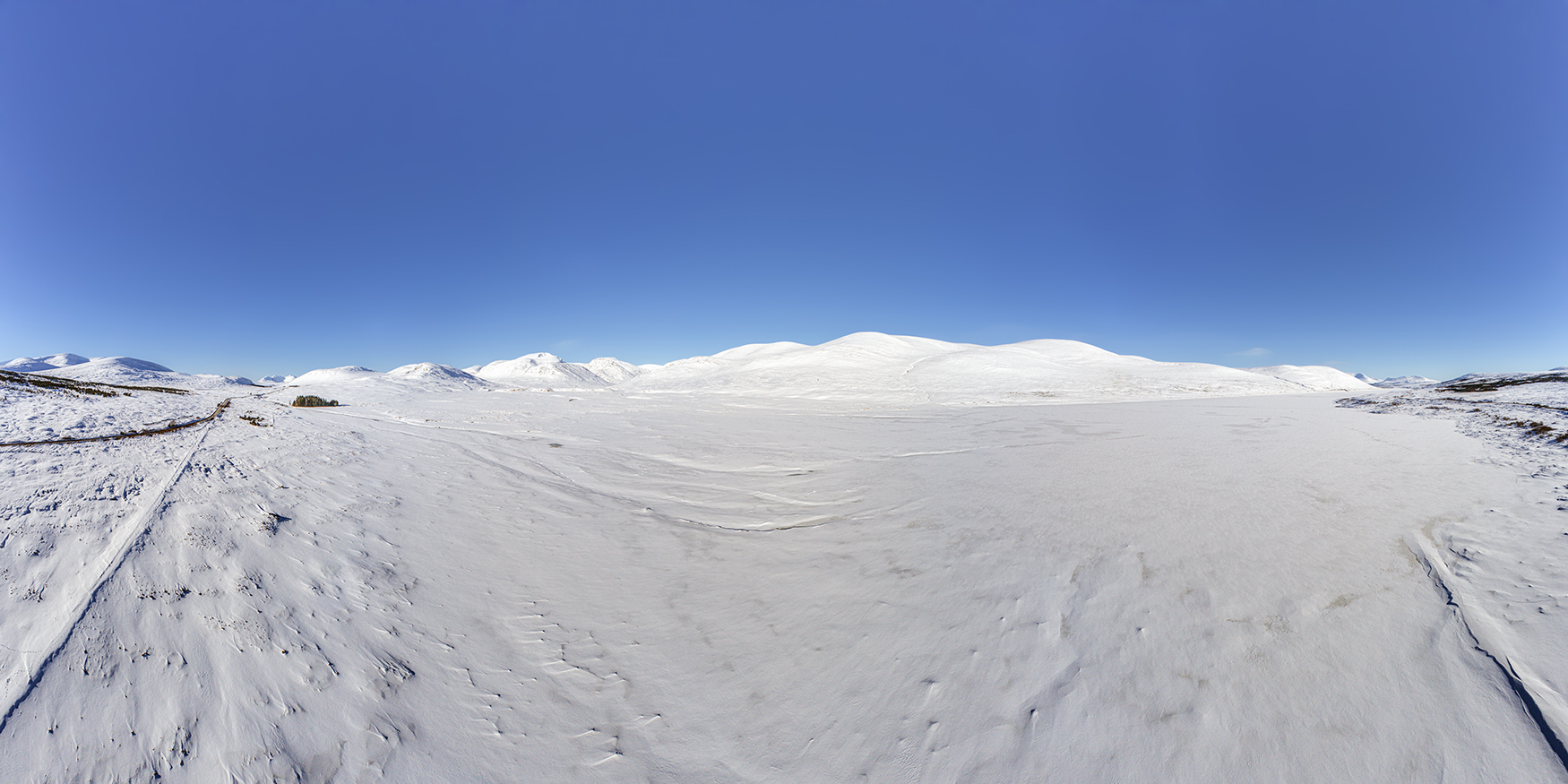
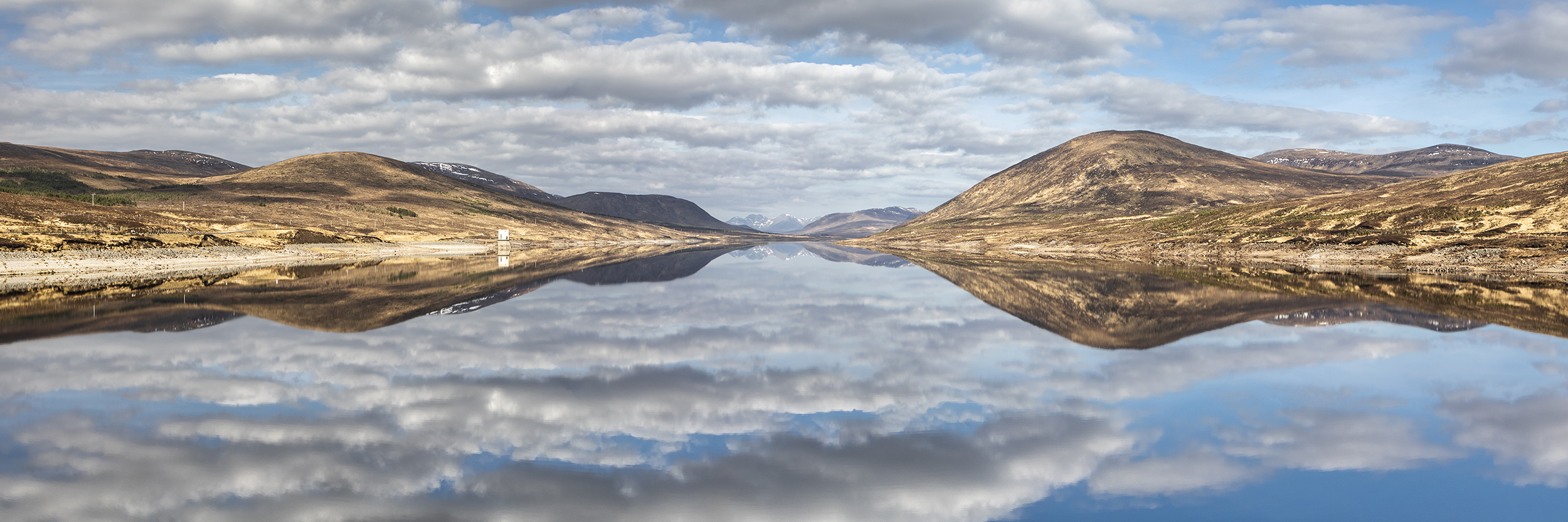
A frozen Loch Glascarnoch and winter hills in full snow cover - a rare combination of perfect conditions, no wind and good light!
Frozen Loch Glascarnoch
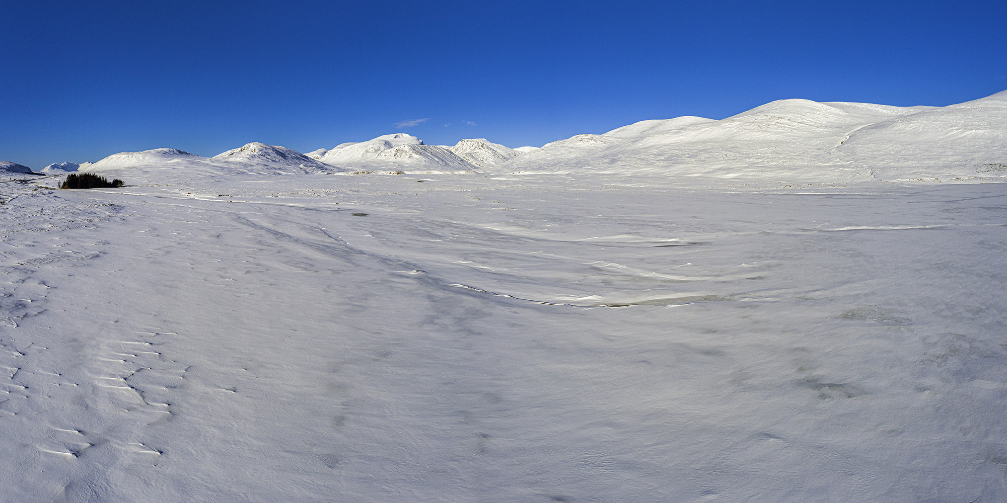
An aerial panorama looking westwards towards Am Faochagach, with An Teallach in the far distance.
Am Faochagach
Viewed from above Loch Glascarnoch, Am Faochagach takes centre stage, with Cona Mheall and Beinn Dearg to the left. Zoom in to see distant An Teallach and the far western end of the Fannichs.
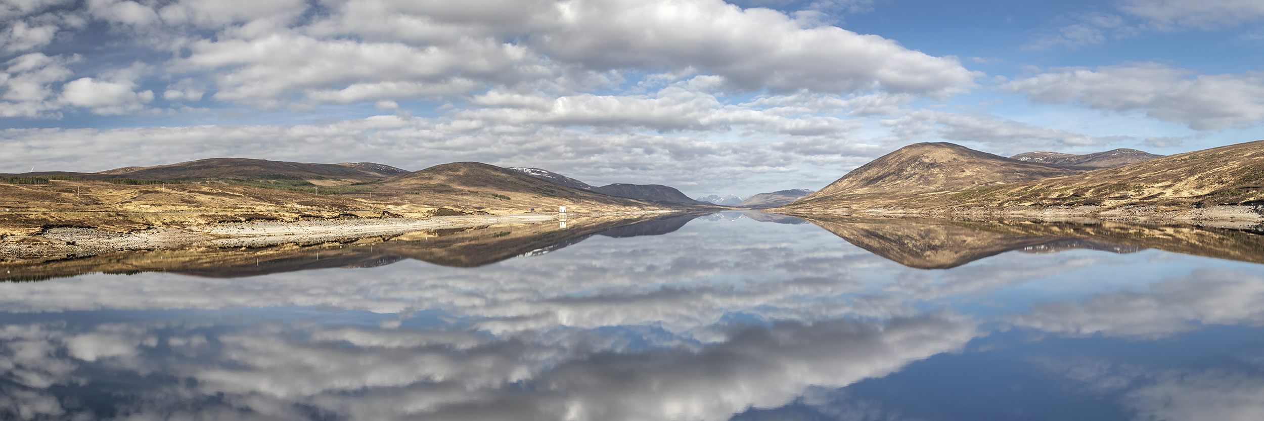
The remains of the original road which ran through Glen Glascarnoch, before the loch was created, can be seen from the aerial viewpoint.
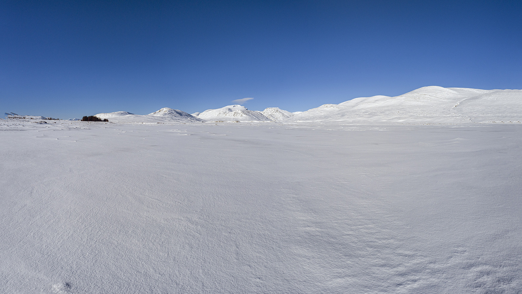
Beinn Dearg and Cona Mheall
Hovering above the frozen loch, Beinn Dearg and Cona Mheall sit in the far distance. The south ridge up to Cona Mheall provides an alternative ascent to the summit and provides airy views to Choire Ghranda far below.
Frozen Loch
With a temperature of -10°C as I left the car at the roadside, Loch Glascarnoch was completely frozen. Whilst it's very possible that the ice was thick enough to stand on, today wasn't the day for testing that theory! Sending the drone out low over the ice allowed this low level shot looking back towards Beinn Dearg, Cona Mheall and Am Faochagach.
Snowy Am Faochagach
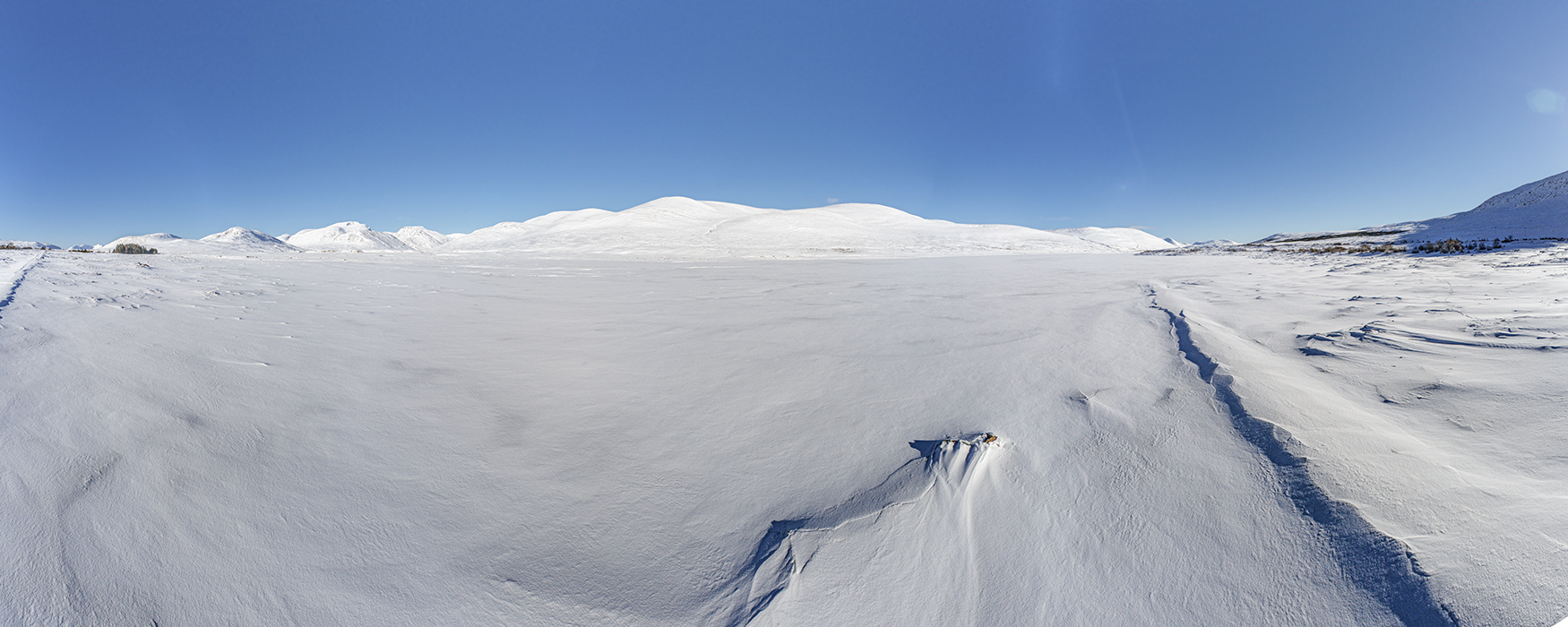
An aerial panorama, again low over the frozen surface of Loch Glascarnoch.
Loch Glascarnoch
The low level aerial vista across Loch Glascarnoch.
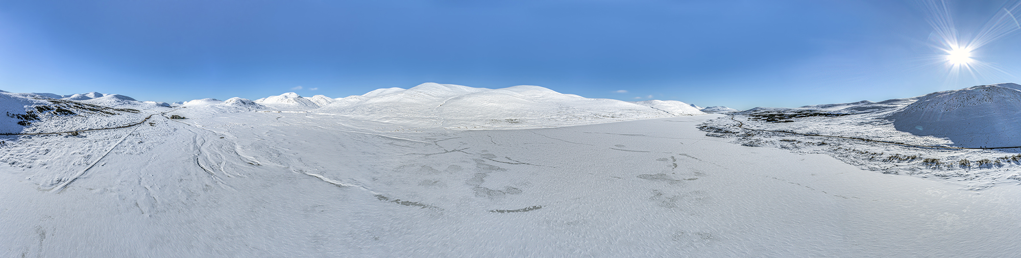
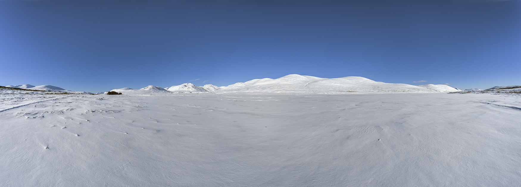
180° Panorama
This full 180° panorama takes in the old road on both sides of the photograph and provides some idea of the scale of this huge, man made loch. Opened in 1957, the dam and reservoir were created by the then North of Scotland Hydro Electric Board as part of the Conon Valley Hydro Electric Scheme. This scheme was one of many similar developments to bring power to remote north highland communities.
To see more images of Loch Glascarnoch and the surrounding area, take a trip over to my Landscape Galleries
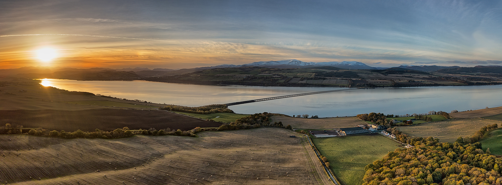
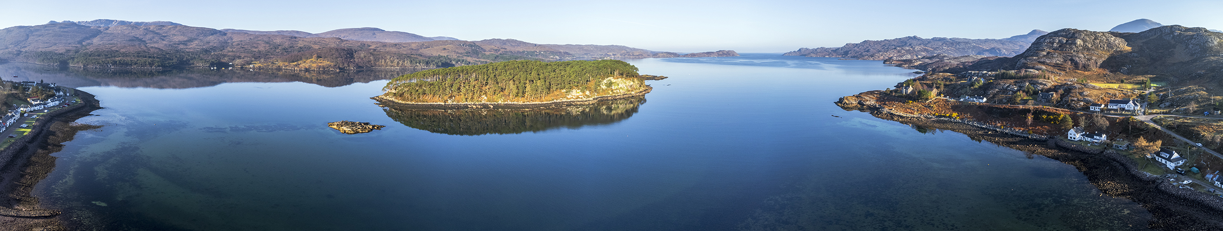
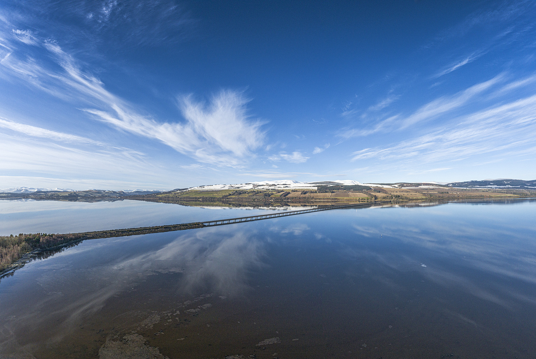
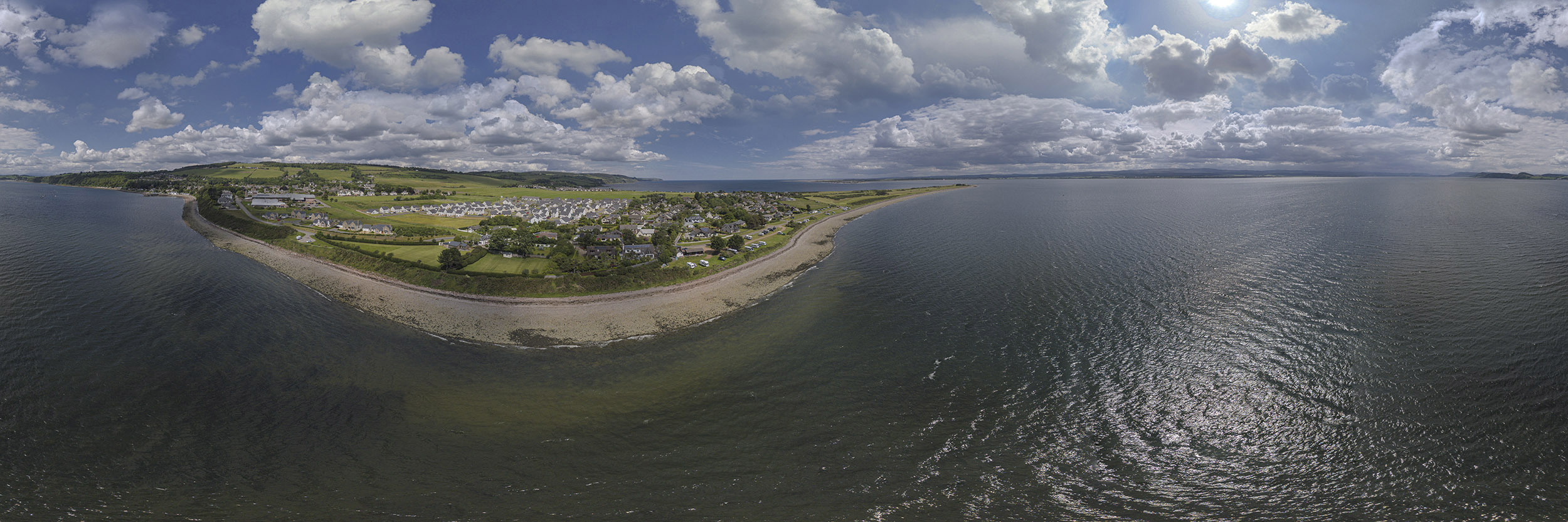
Big skies and reflected clouds - An aerial view over the Cromarty Firth
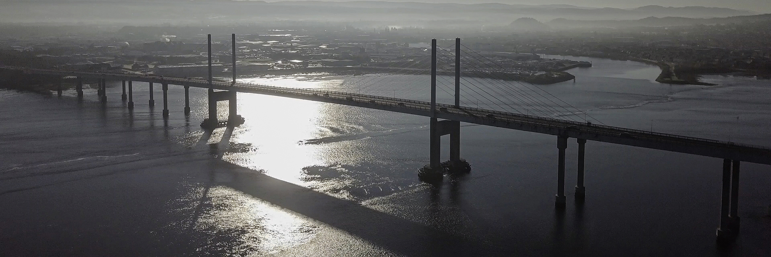
Cromarty Bridge from the Black Isle..
An aerial panorama looking across the Cromarty Bridge from the Black Isle.
To see more aerial perspectives of the Black Isle, head over to my Black Isle Aerial Virtual Tour and explore the Black Isle from the air. Pan, zoom and enjoy the views, using the interactive hot spots to navigate your way around the Black Isle from a unique and different perspective.
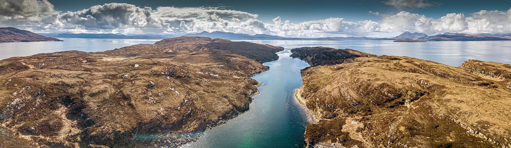
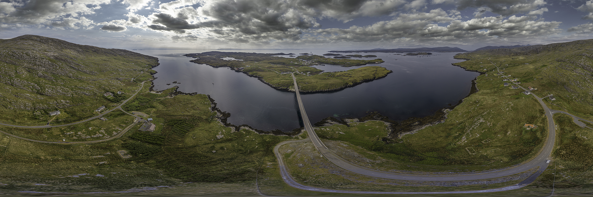
Vallay Island - Eilean Bhàlaigh - North Uist
The beautiful, uninhabited island of Vallay (Eilean Eilean Bhalaigh) sits off the north west cost of North Uist. It's also the setting for Vallay House, the one time residence of Erskine Beveridge who bought the island and built Vallay House, also known as Taigh Mor, in 1904. Whilst the house is now in ruins, it's still a landmark when looking across to the island of Vallay.
Vallay is normally reached by a causeway and just under 2.5km of walking or cycling. Our plan however was to kayak around the island and enjoy a lunch stop at Camas na Criche. From there, it was a short walk around the main features of the island.
A 360° aerial panorama with embedded hotspots to a few of the photographs taken during the day. Go Fullscreen and enjoy the view....!
360° Aerial Panorama - Hougharry, North Uist, Outer Hebrides
The aerial view at Balranald in North Uist which starts looking towards Hougharry from Traigh nam Faoghailean. Pan around to see Balranald Campsite and views across the machair. Look south towards Benbecula and see if you can spot the Monach Islands and the lighthouse, one of the many Stevenson lighthouses in Scotland. Eilean Hasgeir and the rugged Heisgeir Eagach are also in view, particularly if you go full screen and zoom in.
Balranald Campsite is a great base for North Uist and you'll find more information on the Balranald Hebridean Holidays website.
This full 360° aerial panorama is one of a series of aerial panoramas from the Outer Isles.
360° Aerial Panorama - Island of Scalpay, The Isle of Harris, Outer Hebrides
An aerial view looking across to the island of Scalpay sitting to the east of Tarbert on the Isle of Harris. This full 360° aerial panorama has a wealth of detail. Spot the Caledonian Macbrayne ferry entering Loch Tarbert and look back onto Skye in the far distance. Scroll, pan and zoom to enjoy the beauty of the Outer Hebrides.
Use the "Fullscreen" icon in the embedded frame above to explore the panoramam in more detail.
Any visit to the Outer Hebrides should take in Scalpay and more information can be found here.
This full 360° aerial panorama is one of a series of aerial panoramas from the Outer Isles.
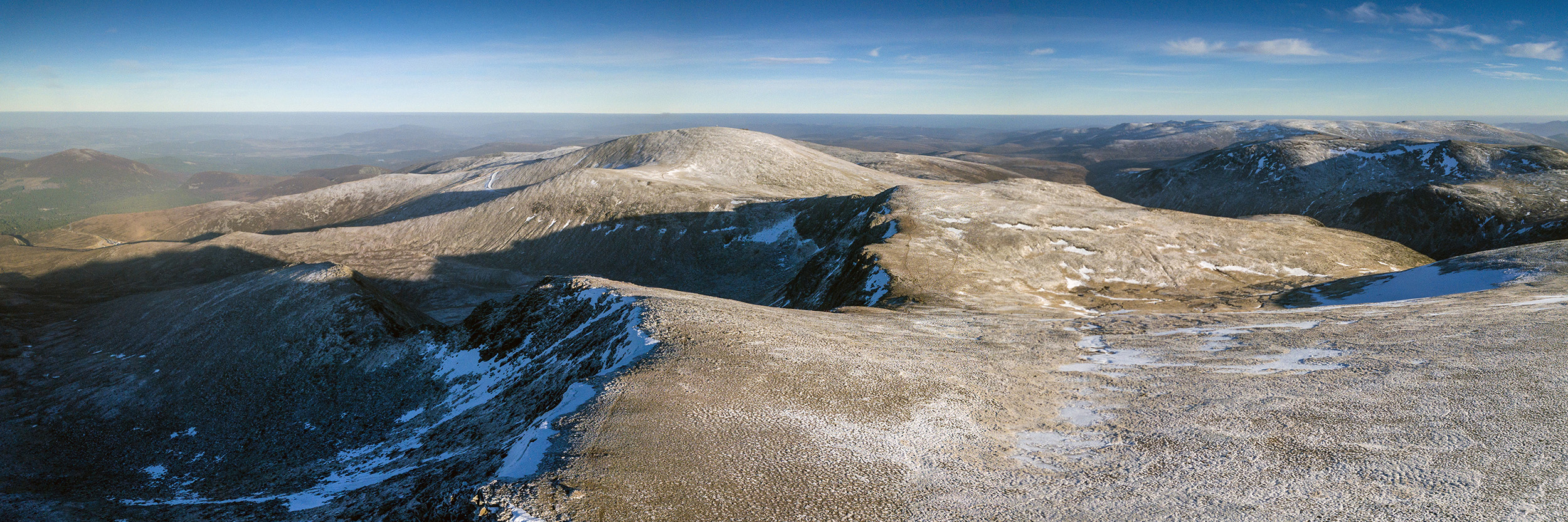
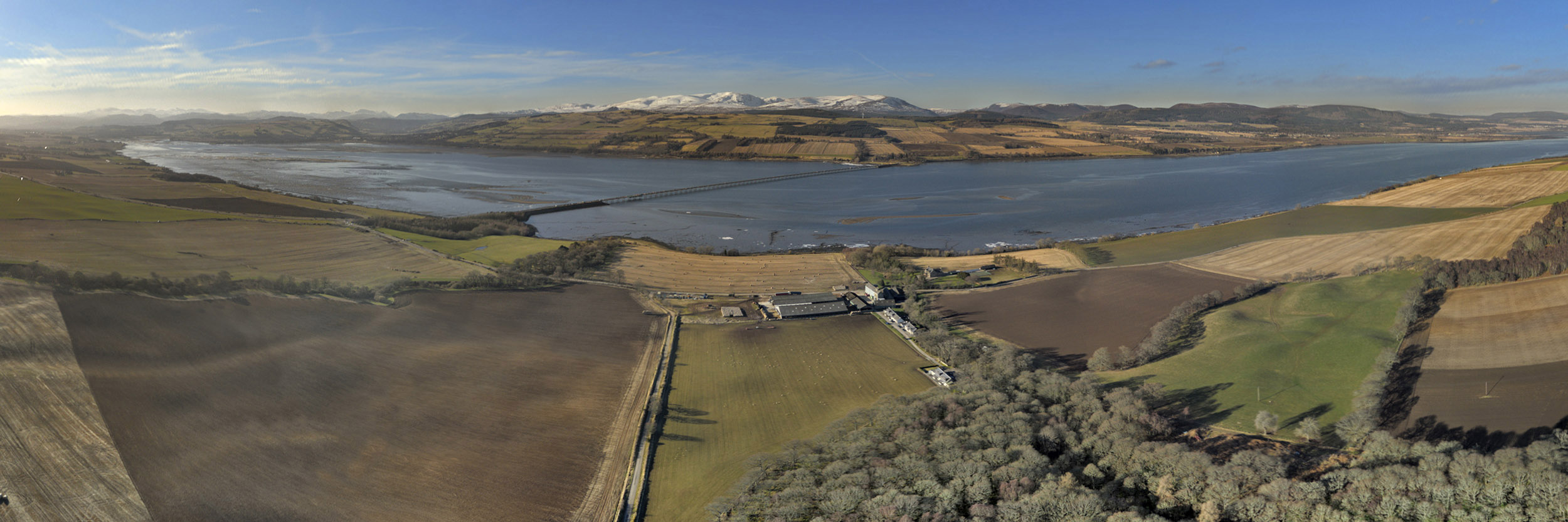
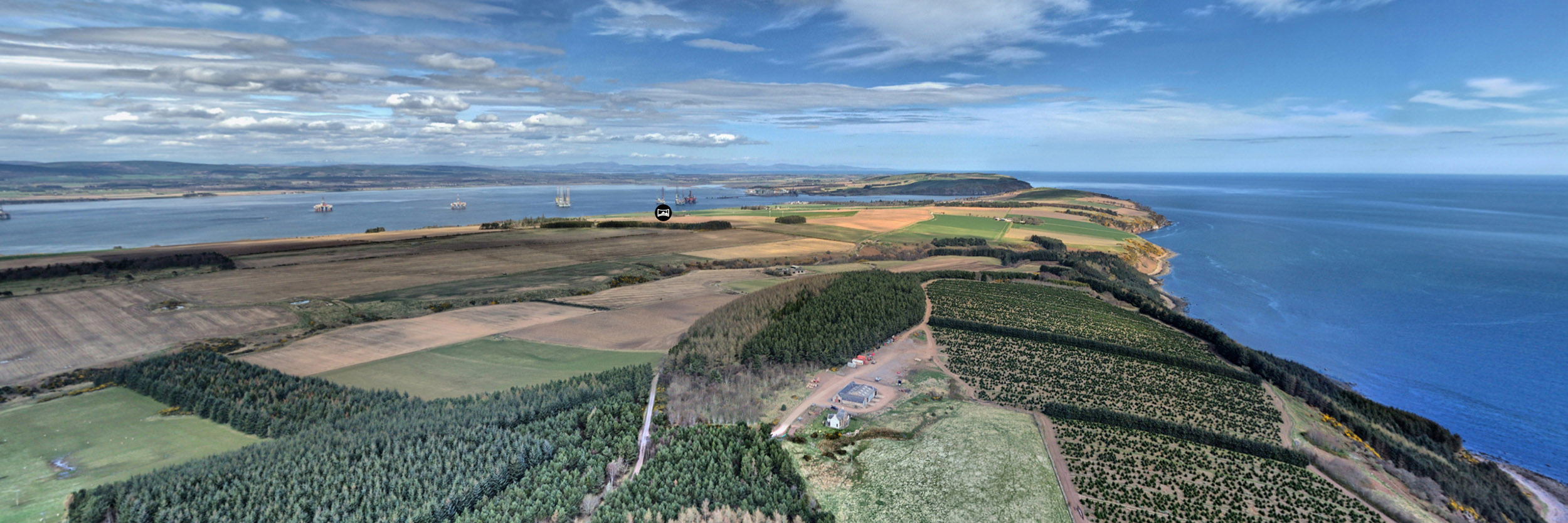
The Cromarty Firth - The End to End Aerial View
Stretching from Dingwall and Conon Bridge in the west, to Cromarty in the east, the Cromarty Firth is an offshoot of the much larger Moray Firth.
Guarded by the north and south Sutors at its seaward side, the Cromarty Firth provides safe anchorage in a deep water inlet. Invergordon was at one time a base for the Royal Navy and scene of the last navy mutiny in 1931. The deep water has provided for a hub of economic activity for many years, spanning the production of North Sea oil rigs from 1972 to the present day fabrication of offshore windfarm infrastructure, as well as providing facilities for some of the world's largest cruise liners.
To the south lies the Black Isle and to the north, overlooking the Firth is the Ben Wyvis massif. There aren't many places which provide this end to end view but drone photography certainly helps...
To see more aerial perspectives of the Black Isle, head over to my Black Isle Aerial Virtual Tour and explore the Black Isle from the air. Pan, zoom and enjoy the views, using the interactive hot spots to navigate your way around the Black Isle from a unique and different perspective.
360° Panoramic Photography
Commercial Drone Services
360° Immersive Virtual Tours
Online Sales and Downloads
Search the Scotland360° Website


